

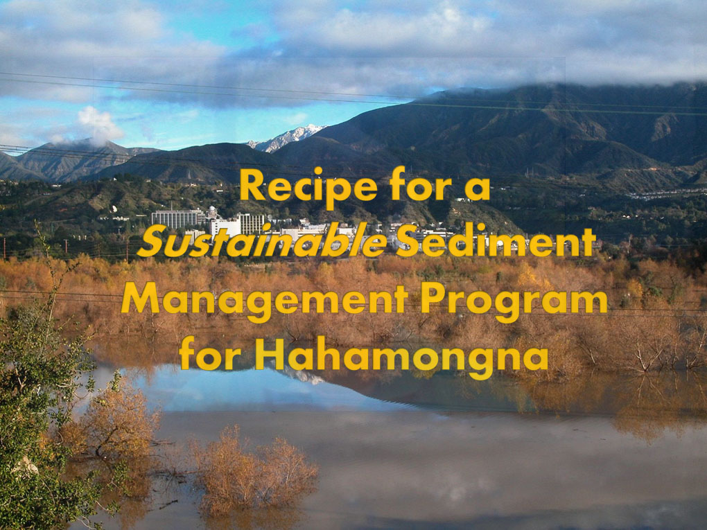
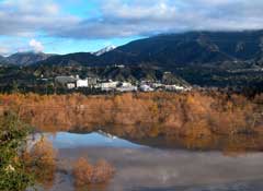
Hahamongna is that rare spot in the Arroyo Seco at the foot of the San Gabriel Mountains where the mountainous watershed meets the urban plain. Periodically floods roar into this basin. Bounded on the north by the mountains and Jet Propulsion Laboratory and on the south by Devil's Gate Dam, Hahamongna contains five unique habitat zones that only exist in alluvial canyons near the mountains. Most sites like this in Southern California have been destroyed.
Don't let Hahamongna go the way of other lost environmental treasures in Southern California.
The Meaning of Hahamongna
The original settlers of the region were sometimes called the Hahamongna Indians. The word means "Flowing Waters, Fruitful Valley" in the native Tongva language.
Save Hahamongna is a campaign of the Arroyo Seco Foundation, Pasadena Audubon Society and other local organizations and concerned residents who are working to protect and preserve the nature of Hahamongna. We invite you to join us.
The Significance of Sediment EIR
County Supervisors on March 1, 2011 instructed County Public Works to conduct a full environmental impact report on the sediment management program at Devil's Gate Dam and Hahamongna in the Arroyo Seco.
Emergency Measures Completed
County crews completed the emergency measures at Devil's Gate Dam in late 2011.
Prepare Your EIR Comments
Comment Period Closes - January 6, 2014
How to Prepare Your DEIR Comments

We Need to Build a Fund to Preserve and Protect Hahamongna
Hahamongna Updates
The Trucks Are Coming

La Cañada Alert
La Cañada
Dangers of Diesel
Diesel
A Strategy to Save Hahamongna
Devil's Gate Sediment Removal and Management Project Fact Sheet
The Site | Devil's Gate Dam reservoir in Hahamongna Watershed Park. This is the flood basin in the Arroyo Seco at the foot of the San Gabriel Mountains where silt and sediment has been captured by the dam over the decades since the dam was constructed in 1920. The buildup of sediment was aggravated by several decades of neglected maintenance by the County Flood Control District and by a massive slug of sediment that flowed into the basin following the devastating Station Fire in 2009. Now the County wants to undertake a massive sediment removal program that will take as much as four million cubic yards of material from the dam and strip the rich riparian and wetland vegetation from the Hahamongna basin in a program that could cost as much as $100 million. In what the County ironically calls a sediment management program, the county plants to strip all the vegetation from the reservoir maintenance area each year permanently. |
|---|
The Removal Program | The County will remove 7,650 cubic yards per day over a three to five year period; 425 truck trips in and out per day; double trucks, each of which holds 20 cubic yards. Massive earth-moving equipment fill the trucks, which will descend into the basin just north of the dam and line up to allow one truck to be filled every two minutes. |
|---|
Operations |
Monday - Friday: 7 am - 7 pm; Saturday: 8-5 pm |
|---|
Seven Alternatives Considered |
Configuration A - 120 acres of reservoir to elevation 1040' - 2.95 million cubic yards Configuration B - 83 acres to elevation 1020' - 2.8 million cubic yards Configuration C - Face of Dam removal site and north basin removal site- 4.0 million cubic yards Configuration D - Leaving an island in the middle of the reservoir with two wings from the face of the dam - 2.4 millin cubic yards Sluicing - 2.8 million cubic yards; a dismissive all-or-nothing analysis of sluicing Alternative Haul Route entering from east side of dam and doubling back along Oak Grove Drive No Project Alternative
|
|---|
Project Schedule | Between Summer 2015-2020
|
|---|
Mitigation for Biological Impacts | No mitigation program is specified by the Draft EIR, although a laundry list of promised steps is listed including:
On site biological monitor Biological Assessment. A habitat restoration and monitoring plan shall be developed and approved by USFWS and CDFW. Tree Survey. Riversidean alluvial fan sage scrub enhancement plan. on site restoration or enhancement at a 1:1 ratio to improve water quality and riparian habitats. preconstruction nesting bird survey(s) shall be required, and. species relocation plan.
|
|---|
The Future of Hahamongna |
 | 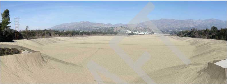 |
Today | Tomorrow? |